Land Navigation
2 Days | $300
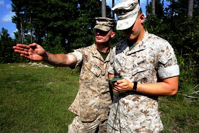
Land Navigation is a two-day course designed to instill the knowledge and skills necessary to effectively navigate utilizing tools such as a map, compass, and protractor without the aid of electronic devices. From the hunter to the responsible citizen, students will develop a high level of proficiency in Land Navigation. This course serves as a prerequisite for Advanced Land Navigation.
Day 1
Topics include:
- Map Marginal information
- Natural and man-made features
- Methods of depicting relief
- Contour intervals
- Types of slopes
- Terrain features
- Compass nomenclature
- Techniques for using a compass
- Pace count
- Range estimation
- Offsets
- Military Grid Reference System (MGRS)
- Grid coordinates
- Protractor nomenclature
- Plotting and finding points
- Strait and curved line distance
- Determining azimuths and back azimuths
- Converting grid and magnetic azimuths
- Terrain association
- Intersections and resections
- Terrain profile
- Mounted navigation
- Collecting and limiting features
- Route information
Day 2
Practical application:
- Orientation
- Grid coordinates
- Plotting
- Route selection
- Navigation
- Intersection
- Resection
- Range estimation
